What To Know Before Buying Land In Waterford
April 9, 2026
April 9, 2026
Buying land in Waterford can look simple on paper, but the real story is in the details. A parcel with enough acreage may still face access, utility, wetlands, flood, or coastal review issues that affect what you can actually build. If you are considering vacant land here, understanding those layers early can save you time, money, and frustration. Let’s dive in.
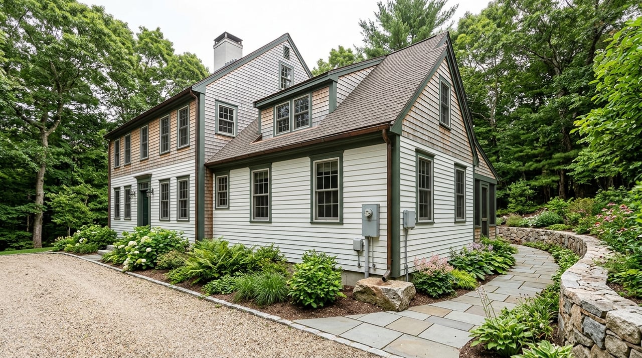
Waterford is a shoreline town in southeastern Connecticut with access to I-95 and I-395, and the town notes that it spans 33 square miles. That coastal setting is part of the appeal, but it also means land review often involves more than a basic zoning check.
Waterford’s zoning regulations include separate standards for flood hazard areas, coastal area management, erosion and sediment control, and stormwater management. In practical terms, that means a lot that looks straightforward online may still require deeper review before you know whether your plans are realistic.
For many buyers, the key lesson is simple: buildability matters more than raw acreage. Based on Waterford’s permitting framework, parcels with clean frontage, accepted street access, public utilities, and fewer environmental constraints are usually easier to position for builders and custom-home buyers than lots that need variances, engineered access, wetlands delineation, or coastal review.
Before you think about design, budget, or timing, confirm the parcel’s zoning district. Waterford posts its zoning regulations online, and those rules shape minimum lot size, frontage, building width, and setbacks.
Several residential districts come up often in land searches:
These numbers matter because a parcel can be large overall but still fail to meet frontage or building-line requirements. That is especially important when you are looking at oddly shaped lots or property tucked behind other homes.
In Waterford, legal and practical access deserve early attention. A parcel may appear usable on a map, but if the road is unaccepted, private, or too narrow for compliant access, your building plans can become much more complicated.
Waterford allows flag lots only in R-20, R-40, RU-120, and OS districts, and only for single-family detached homes. The access strip must be at least 25 feet wide, and deeded access, maintenance, and utility easements must be filed before a zoning compliance permit is issued.
Rear-lot situations also need careful review. Waterford generally forbids creating new rear lots, and older rear lots can be developed only if they meet strict requirements tied to access, utilities, frontage, topography, and recording history.
Another major issue is the street itself. Lots that abut unaccepted streets generally cannot receive zoning permits unless specific historical and engineering conditions are met. If you are evaluating vacant land, ask whether the road is accepted by the town and whether any recorded access documents already exist.
Some buyers see a small vacant parcel and assume it is a grandfathered building lot. In Waterford, that can be a costly assumption.
The town’s regulations explain that nonconforming lots are not automatically unbuildable, but contiguous lots in common ownership may be treated as one undivided lot if they do not meet current frontage, width, or area standards. In plain English, an undersized parcel may not stand alone as a legal buildable lot if it is considered part of a larger tract.
This is one of the reasons land records matter so much. Waterford’s Town Clerk maintains scanned land records, which can help with title review, easements, covenants, and access documents. A land-savvy attorney and surveyor can help you confirm how the parcel is treated today, not just how it appears on an old map.
Wetlands are one of the biggest reasons a promising parcel turns into a more complex project. In Waterford, the Conservation Commission serves as the inland wetlands agency, and the town makes clear that its wetlands map is for general information only.
That means you cannot rely on a quick map glance to establish the true wetland boundary for permitting. The town says the exact boundary must be determined from actual soils and site conditions, typically by a qualified soil scientist or wetland scientist.
This is worth doing early because wetlands can affect the building envelope, driveway layout, grading plan, and even whether a project is feasible at all. If the lot has obvious low areas, drainage channels, or irregular terrain, budget for a closer look before moving too far forward.
A common mistake is treating wetlands, flood zones, and coastal review as the same thing. In Waterford, they are related but separate layers of review.
The zoning regulations state that flood hazard areas are subject to periodic inundation and related public safety concerns. FEMA flood maps identify special flood hazard areas, and DEEP notes that all Connecticut municipalities participate in the National Flood Insurance Program. If a mortgaged structure lies in one of those zones, flood insurance can be mandatory.
Because Waterford is a coastal town, shoreline parcels may also trigger coastal site plan review. The zoning regulations require coastal site plan review for buildings, uses, and structures located fully or partly within the coastal boundary shown on the town’s coastal boundary map.
So even if a lot is outside mapped wetlands, it may still require flood-related review or coastal review. That is why site-specific diligence matters so much here.
Zoning may tell you what is allowed in theory, but topography and drainage often shape what is practical in the field. Waterford’s site plan requirements call for information on wetlands and watercourses, coastal resources, coastal jurisdiction lines, flood-prone areas, rock outcroppings, and steep slopes greater than 25 percent.
The town also requires erosion and sediment control plans for many applications. Larger or more complex projects may need a site stormwater management plan prepared by a Connecticut-licensed professional engineer.
For you as a buyer, the takeaway is clear: a lot that is steep, rocky, or drainage-challenged can cost more to develop even when zoning allows a home. That does not always make the parcel a bad opportunity, but it should shape your expectations and your offer strategy.
Utility assumptions can lead buyers in the wrong direction. Waterford’s Utility Commission is responsible for sewers and long-term water-supply planning, but the town’s health-permit rule still requires approval of sewage-disposal and water-supply facilities before a new human-occupancy building or a dwelling-unit expansion can proceed.
That means you should confirm whether the lot has access to public water and sewer or whether septic and well approvals will be needed. This step is especially important in Village Residential districts, where public water and sewer are required.
If you are comparing parcels, utility availability can be a major factor in cost, timing, and resale appeal. In general, lots with public utilities and fewer site constraints are often easier to market and easier for buyers to underwrite.
Some buyers are looking beyond a single custom home and want to understand subdivision or multi-unit potential. In Waterford, those options may exist, but they depend heavily on zoning, utilities, site conditions, and approvals.
Cluster subdivisions are allowed only in R-20, R-40, and RU-120 districts. They generally require a minimum site size of five acres and public water and sewer unless an alternative design is approved.
Multi-family development is allowed only where public water and public sewer are available and used for all proposed buildings, and Planning and Zoning Commission approval is required. If you are buying land with an eye toward development, early conversations with your engineer, attorney, and agent are essential.
Before you make an offer on land in Waterford, try to answer these questions:
These are not just technical questions. They directly affect what you can build, how long approvals may take, and how attractive the property may be later if you decide to sell.
Land purchases in Waterford often require more than a typical home-buying process. The town’s regulations repeatedly reference work certified by a Connecticut professional engineer or land surveyor, while wetland boundaries require a qualified soil or wetland scientist.
Depending on the parcel, your team may include:
Having the right professionals involved early can help you separate a manageable project from a risky one. It can also help you move with more confidence when a parcel really does check the right boxes.
If you are weighing land opportunities in Waterford or anywhere along the southeastern Connecticut shoreline, working with an advisor who understands parcel-level diligence can make the process far more efficient. The Thomas & LaBonne Team brings local market perspective and hands-on guidance to complex property decisions, from custom-home sites to larger land transactions.
Stay up to date on the latest real estate trends.


With a passion for real estate and a deep understanding of the market, Dave Thomas is committed to delivering results that exceed expectations. Work with the trusted agent who knows Southeastern Connecticut inside and out.